Saturday, I woke up to a dry street, so I thought I’d go for
a short hike along the Pacific Way Trail during the lull in rain showers; my
first choice for shoes was soft-soled tennis shoes. Before I walked out the
door, I exchanged those for my heavier hiking shoes in case I decided to
push the envelope and walk the entire 4-mile hike instead of the shorter
walk.
Going hiking ...
With backpack purse instead of my fanny pack.
I had no idea just how far I would end up going 😉
I need to distance myself from the sad side of life, for a while.
There's an encouraging bright spot in those heavy, gray clouds.
Death is oppressive - I want to leave it behind for a few hours.
Before leaving town, I called my BIL Kerry, and asked how the
weather was topside (aka weather report) – and of course, I asked how Bobby
(his red Lab, named after Bob) was doing. Kerry lives on the
mountain, and I trust his weather reports 😊
I had to distance myself from the constant non-stop turmoil
of live unfolding: my personal life is doing well, but my friends are dealing
with some pretty heavy stuff lately … and I’m sick of hearing the radio talking
heads churning out {news} designed to confuse and depress the masses.
So, Saturday, I took some time for myself; away from all of
it to soothe my spirit and relax my body. I muted the phone and flicked radio off.
Nothing was going to stop me from finding peaceful moments in
my day.
Not even that scary Hoffstadt Bridge.
As soon as you leave Toutle, and enter the mountainous area,
you can physically feel/smell a different atmosphere – cooler, clearer
fresher air; the environment is invigorating to the senses. Your whole being
comes alive as your senses pick up on the crispness of the air and the clean
smell of the fresh water.
It just really lifts your spirit up.
It’s taken me a loooong time to feel this calmness in this
particular place, after the 1980 eruption. It was a dead zone for a couple
years – as lifeless and barren as a lunar landscape. Even when animals and plants
started showing up to add life to the gray landscape, I never felt comfortable
there.
Bob always felt comfortable in this particular region. Bob
had history in this corner of the world. I visited it again, for the first time
Solo Lobo, in the Fall of 2019 – nine months into widowhood: I did it as a dare
to myself. I did it because I knew there was some lingering essence of Bob remaining
in that region. I did it because I wanted to know what the {draw} had been for
my husband. I know what drew him back time and time again before the
eruption … and I spent a lot of time with Bob, on the mountain, while we
dated and after our daughter was born (between Spring of 1984 and Summer of
1980). But after May 1980 forever changed the region, I never understood
the fascination. I’ve never had a long-lasting love affair with Mt. St.
Helens as I have with Mt. Rainer.
Mt. St. Helens was Bob’s mountain. It was under his skin.
I visit the region at least once a year now. And I’m learning
to be comfortable there. I can honestly state that visiting that region has
been a healing comfort to my spirit following my husband’s physical death: there
are memories of Bob, there. Going back is also a growing and strengthening
experience as it stretches me to go beyond what I experienced last time I visited.
I still hate driving over the Hoffstadt Bridge … but I am
doing it; that is a major accomplishment. I have done things in that region,
that I never did with Bob – there is a bittersweet achievement in those
capabilities.
And it’s closer to home. With
soaring gas prices that don’t appear to be slowing down any time soon, staying
local is a plus when the need to escape prods me into action.
Kerry's weather report was encouraging.
biden cartel ditches covid testing for people entering America:
Hoffstadt Bridge; the longest minute of my life.
Hoffstadt Bridge:
Mt. St. Helen’s Visitor Center:(https://www.parks.wa.gov/245/Mount-St-Helens)
WA State's 'Banana Slug'.
Banana Slug:
Big Foot is WA State's 'legendary icon'.
Sorry ... but chocolate dipped peanuts passing for exotic poop is not on MY menu.
Big Foot items takes up a huge portion of any Gift Shop in WA.
An Abominable Snowman Big Foot plushie.
I am not immune to the Bigfoot fever, either. LOL
Full-size realistic metal Elk Sculpture outside Gift Shop.
Leaving the Visitor’s Center past Hofstatt Bridge, and crossing
over Bear Creek, you’re in bear country – actually, all of this area is bear
country; but the bridge over the creek literally advertises bear country.
When I see remnants of old logging sites (and the Red Zone
area) that are slowly being reclaimed by wilderness & forest, again, I
think of Bob logging both areas. So, some essence of Bob still lingers here.
And I’m pretty sure he’s still keeping this area in his visitation itinerary
during his cloud ride flyby’s 😉 There’s no doubt about that: Bob loved this mountain. I’ll
always consider this mountain as “Bob’s Mountain”.
Mt. St. Helen’s Memorial Highway:(https://www.fs.usda.gov/recarea/giffordpinchot/recarea/?recid=66100)
Bear Creek means what it says ... BEAR COUNTRY.
Driving along, I saw a lake off to the side of Mt. St. Helens
flank – and a National Park Placard advertising ‘Castle Lake’ … so I turned
into the viewpoint parking lot.
Saturday was not a good day to view the mountain, but any day
can be a crap shoot when visiting mountains: mountains make their own
weather, and it can change several times in one day depending on the mountain’s
whims. Saturday, the lady in question was moody.
This would be a new experience. I’d never been to this spot
with Bob. But I knew the name of the lake because Bob talked about it: the
logging company Bob had been working for since graduating High School had gotten
one of the first salvage logging contracts after the 1980 eruption. Bob was
stoked, and he would tell me about the “new lakes” that had been created by the
massive eruption that seriously changed the landscape around the mountain-volcano.
Castle Lake was one of those new creations. There were others, too, and Bob
said that they all were different colors due to the mineral sediments caused by
the blast.
I was curious.
Of course, I couldn’t see it up close and personal like Bob
did – but I could see where it lay. And I could remember Bob telling me about
it.
Mt. St. Helens in the clouds - and Castle Lake off to the side.
Castle Lake:
Castle Lake Viewpoint; my 1st visit to this spot.
Mt. St. Helens – just before Loowit Viewpoint; 1 mile before the Johnson Ridge Observatory/Visitor Center.
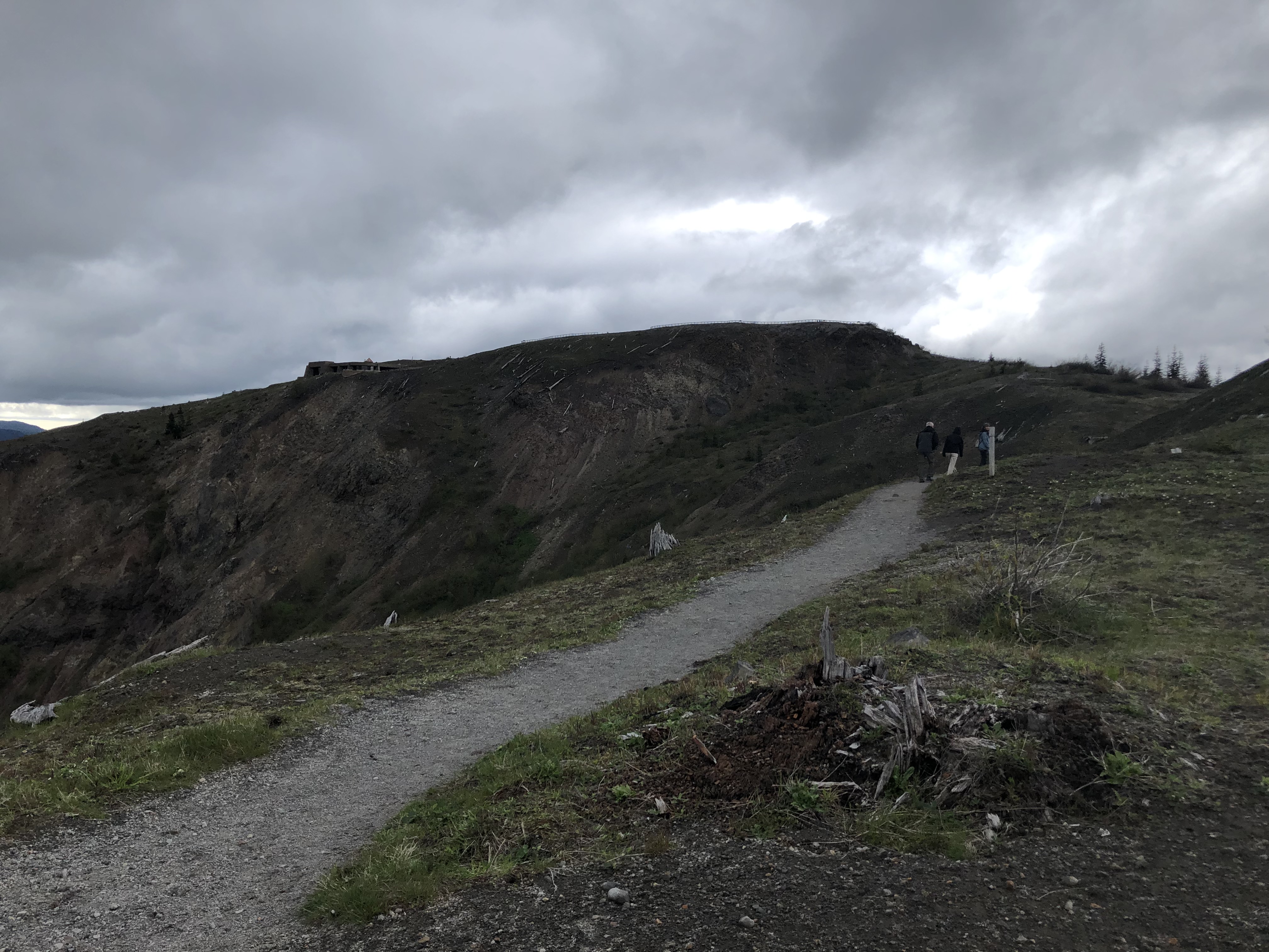
An old logging site; possibly one Bob logged in the 1970's.
1969-1971 timeframe. Bob driving log truck off road, while logging Mt. St. Helen's area: safety checking the log wraps.
Bob Sr. & Bonnie, Bob Jr., Merry, & Kerry: a logging family - they lived in Toutle, near Silver Lake, at this time.
Reining my thoughts in, and getting back on track of why I
made the drive; I continued down the road and around the bend, to the Hummocks Trail
Parking Lot.
The trail is a short one – a loop trail about 2½ miles total;
and about an hour to complete – but I always arrive too late in the day to do
the total loop hike. I didn’t leave the house Saturday morning until 11:34 …
and I always dink around enroute, so my actual destination activities are
always curtailed to specific moments. Saturday’s trail moment was {get
there-walk to the Boundary Trail Marker-gawk for a few minutes-backtrack to the
car}; pretty cut and dried as far as activity goes.
That said, it’s still a nice short hike 😊
I’d be outside in nature, soaking up the scenery and
listening to vociferous creatures that inhabit the area. That alone, in MHO, is worth the loooong drive 😉
The hummocks are gigantic refuse debris dumps, scattered over
the landscape around Mt. St. Helens, following her awe-inspiring 1980 temper
tantrum. I don’t “get” the scientific goose-bumps some get from them … but I do
enjoy the hike; I walked it for the first time in April of last year, so I’m
familiar with the trail layout now – I was still mindful of where my feet
put down, but I was able to walk a little brisker this year – being careful
on the steep loose gravel section of the trail (65-year-old bodies don’t bounce/heal
like youthful 20-30 year-old bodies 😉).
The air of the Hummocks Trail was very pungent with
rain-scent, wet dirt, blooming flowers, & new-growth greenery – but my
lungs never seized up.
I took my time enjoying the environment, and spent soaking up
the natural vibes and taking into my spirit the peacefulness of the moment: I
spent an hour on this short section of the trail, doing nothing more than just
looking around.
Hummocks Parking Lot is full of cars.Hummocks Trail:
Hummocks Trail from Heron Pointe; 1 hr 13 min (60.7 mi) via WA-504 E
Hummocks Trailhead Marker; & lung & bare skin concerns ...
Mt. St. Helens is an active volcano - the most active volcano in America.
Mt. St. Helens Plaque.
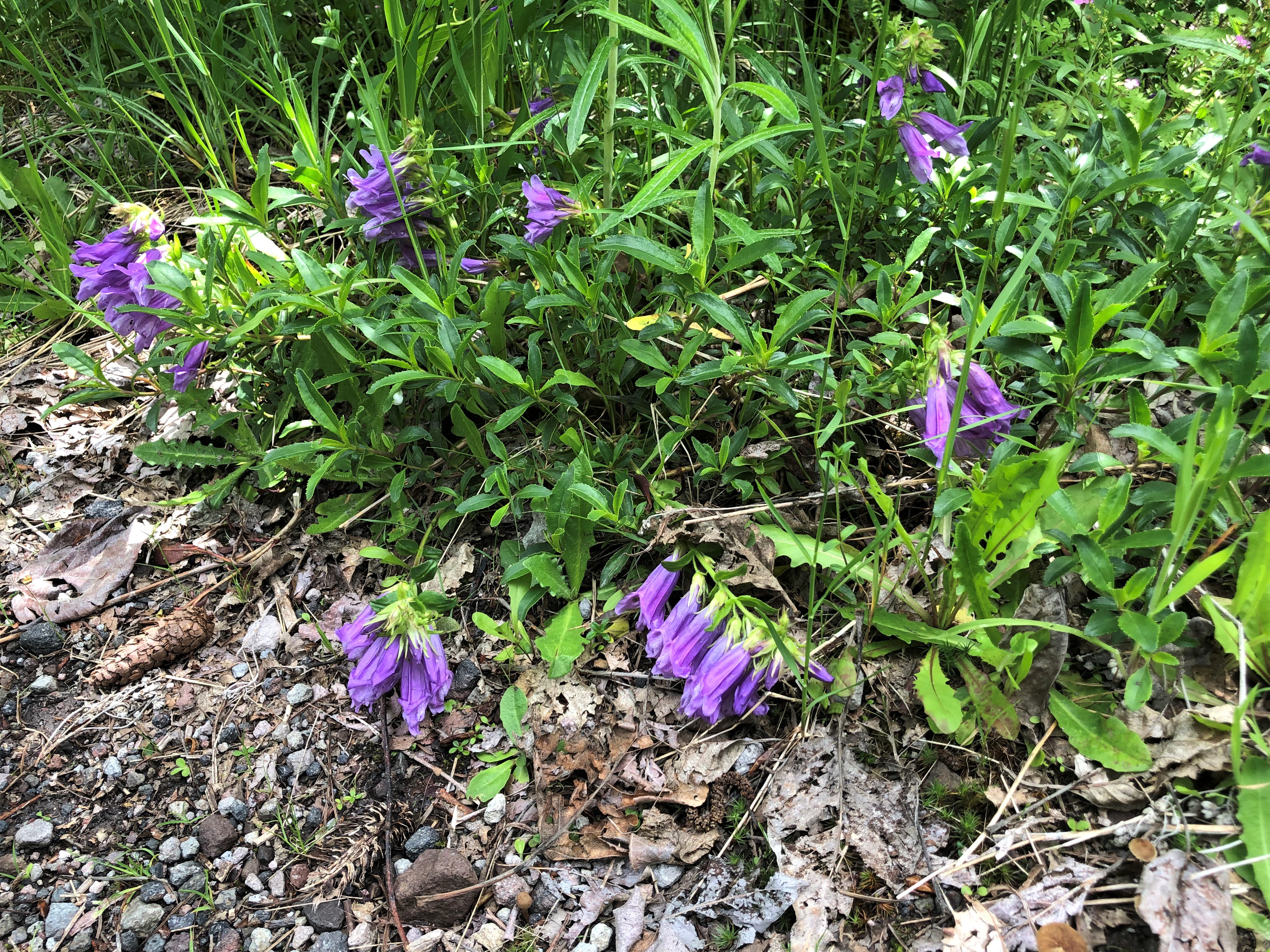
Pretty little purple flowers - a cross between a foxglove & a lily.
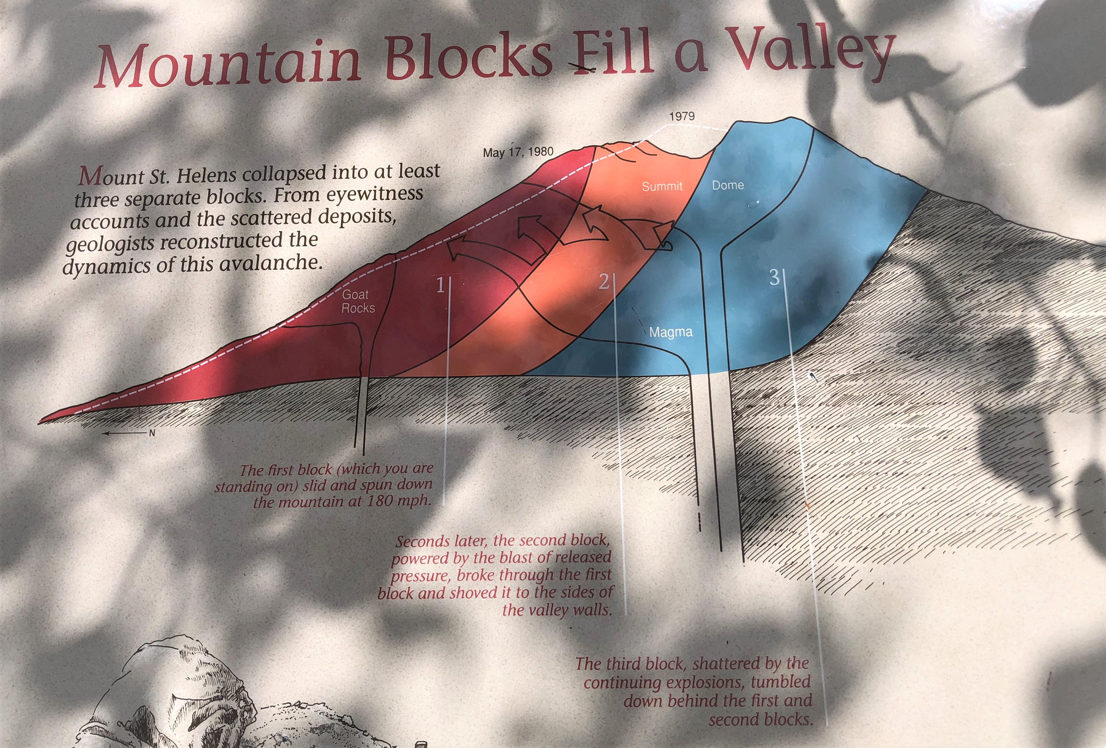
Eruption Sequence Plaque.
No courting ducks in evidence this afternoon ...
You have to be alert to trail hazards.
Trails can be a bit dicey.
A swampy patch ...
A towering hummock.
I had to duck under these branches as I walked this stretch of trail; lifting a branch to make room for my head.
A sharp Sword Fern & vibrant Indian Paintbrush flowers.
Another slippery mud patch.
The upturned roots of thee fallen trees towered over me as I walked past; very tall. A storm blew both trees over due to their intertwined roots.
These 2 large rocks make a natural step.
Wild alpine strawberries.
Hummocks Ecosystem Plaque.
You need to keep your eyes open on trails; sharp-edged tripping hazard.
Hummocks & birdsong.
Even non-challenging-trails can be filled with tripping hazards.
I like this part of the trail.
I can't explain WHY I like this particular point in the trail … I just do - it has a certain vibe 😉
Unmistakable sign of coyote activity here.
A lot of sidestepping went on here; I felt like I was doing an Irish jig. LOL
Hummocks Trail Boundary Trail marker.
Cloud shrouded mountain.
Not as appealing without the snow-frosted environment; but the surprise late-season-snowfall in the lowlands, & continual rainfall at home, kept me from getting here earlier in the year.
Half a mile in ... half a mile backtrack.
Cool & muggy, but a perfect day for hiking – the air was relatively dry, even with the high humidity: I didn’t feel the ‘stickiness’ until I stopped moving for a few minutes.
Tiny lupines, and wild alpine strawberries.
View from a different angle ... standing on a small 'rise'.
It's been a good ending to this Shabbat.
I’m counting my blessings with every step; I’m inhaler-free since Mother's Day, this year.
I always have it on hand, but have not had to use it in 6 weeks.
A hummock; created May 18th, 1980.
Rock-strewn trail; I have small feet, but not small hooves.
What went down before, must go back up now ...
Back in the Highlander, and aiming it up the winding road towards
Johnson’s Ridge Observatory, I was treated to three different weather patterns.
Johnson’s Ridge is 6½ miles from the Hummock’s Trail; and
between both places, you pass into another County (Skamania). 3,000 feet
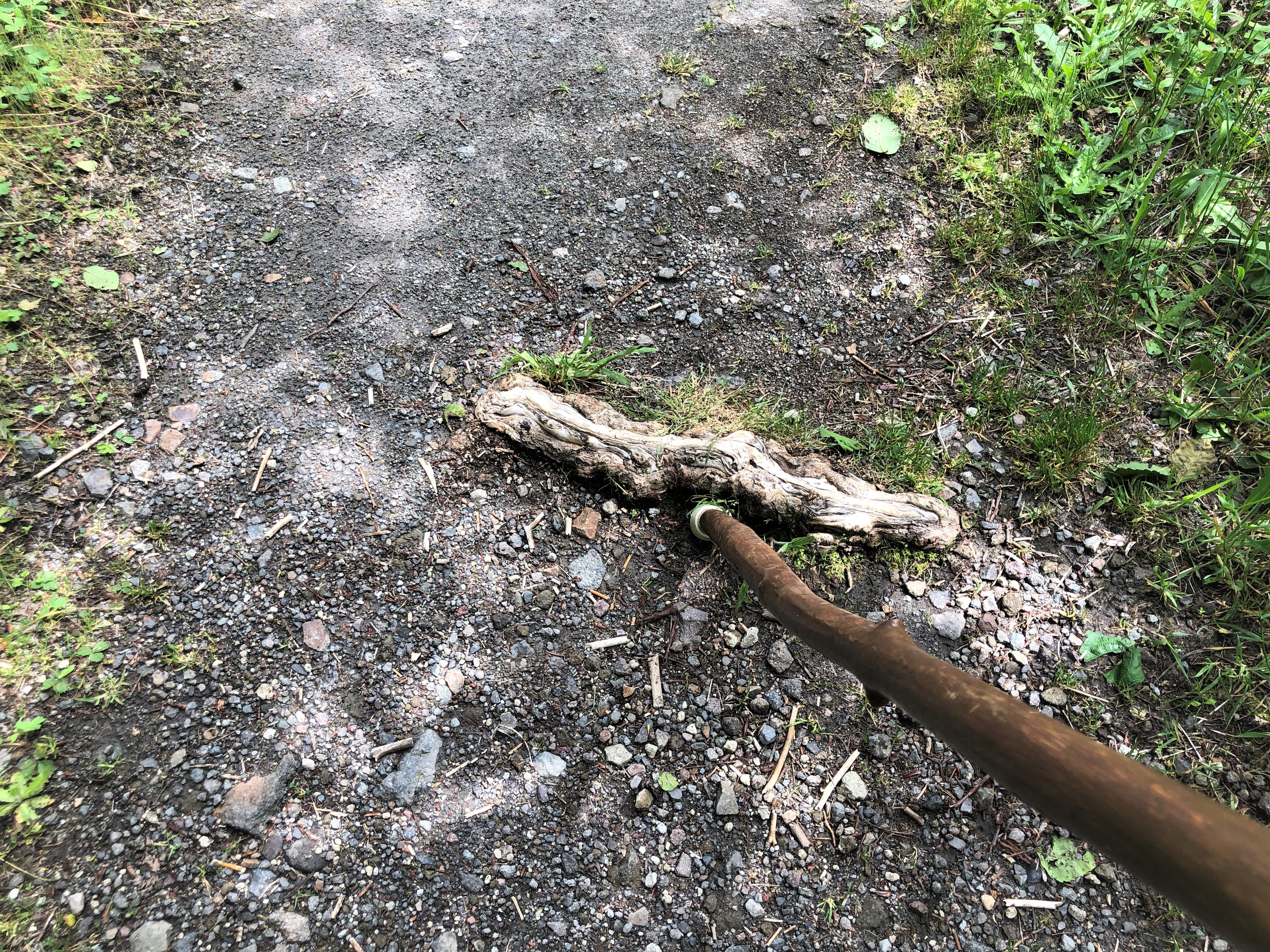
in elevation; pretty little waterfalls along the roadway … but nowhere to pull
over and take a picture. They aren’t big waterfalls, but they are cute – and
add sparkle to the landscape.
Skamania County Boundary Lines.
Not sure of that is a waterfall, or not - but it sure caught my eye.
RAIN. Mountain weather is fickle weather.
Snow at Loowit Viewpoint; elevation 4,000 – not a lot of snow, but it was evident 😊
Snow all the way to the Johnson Ridge Parking Lot.
Chuckwagons lined up like a Fair or a Bazaar; Johnson Ridge Parking Lot.
The Johnson Ridge Loop Trail is totally paved.
Johnson Ridge Observatory.Johnson Ridge Observatory:
A brief rainy period ...
Eruption Trail Plaque.
Mt. St. Helens; Pre-1980 eruption.
Observatory, lava-mudflow lahar floodplain, & displaced Spirit Lake. Spirit Lake was completely displaced by the debris avalanche before rushing back to a lakebed raised 200 feet. Its once pristine waters were transformed into a toxic, bubbling, bacterial concoction.
What Spirit Lake & Mt. St. Helens looked like before the 1980 eruption; before the 1980 eruption, Spirit Lake was a crystal-clear glacial lake, surrounded by old-growth forests. The violent eruption filled the lake and removed the forest. The landslide displaced the water from the lake and lifted the lake bed 200 feet in the air – and transported it into a different location far from its original location.
Drizzle does not bother Washingtonians ... they just sit it out.
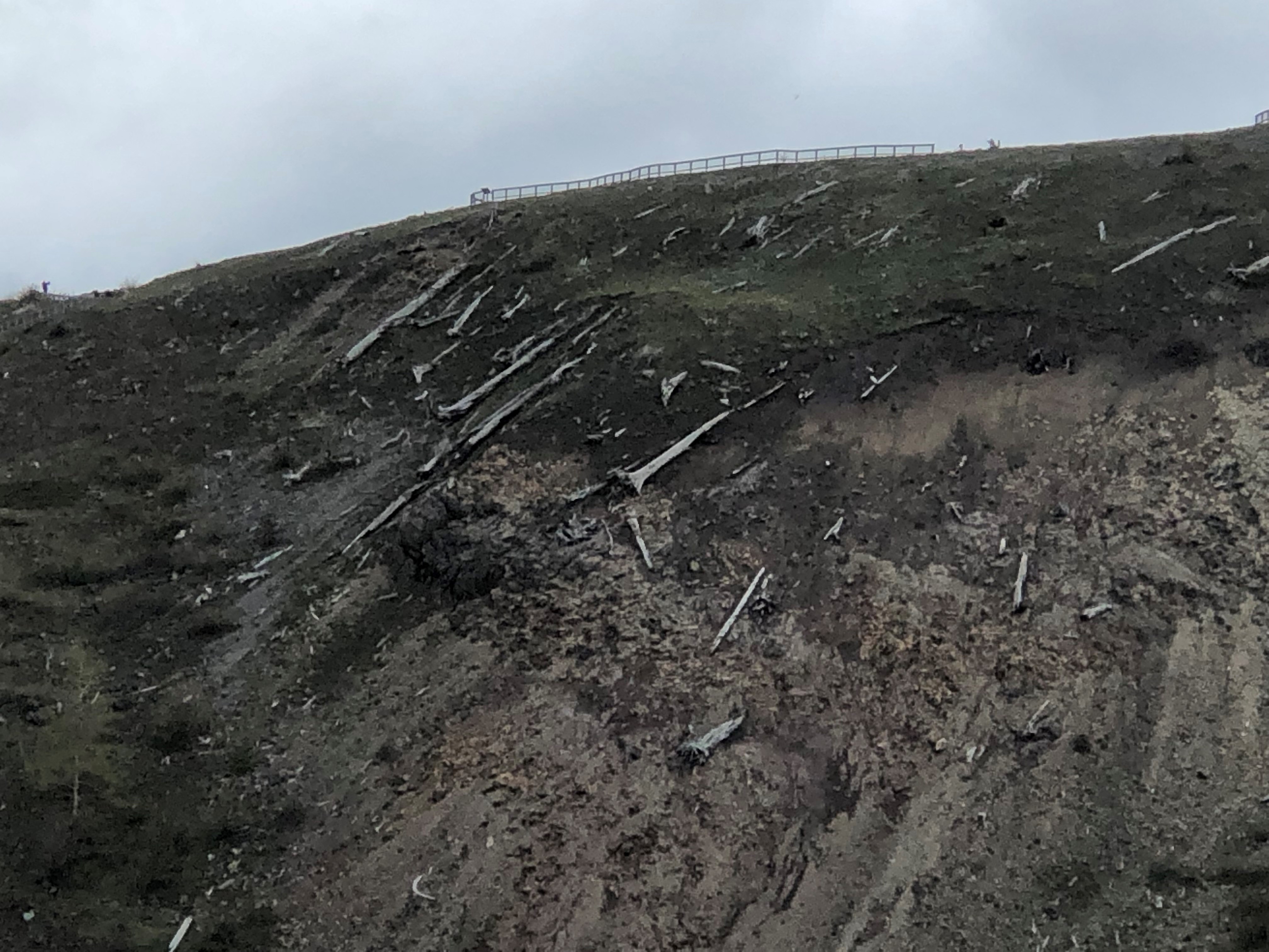
Eruption-Blasted Trees Info Plaque; the only thing different now, is that grass and flowers are coverng in the bare earth ...
Circle of Cascade Peaks.
A mountain resident is making use of walking trail erosion. I was hoping that was not a snake hole ...
Landscape Changes Plaque.
Government workers are not dependable workers; this is not safe: it hangs right over the parking lot, below.
Heavy rain-cloud cover ... and a cool peaks lineup.
While walking that loop, I decided to make a side trip.
It didn’t look too taxing, physically; so, I didn’t worry about not having
my walking stick with me.
2 miles (4 miles backtrack) to Devil’s Point – isn't that long.
SOMETHING NEW!
Hmmm. I always wondered where Mt. Margaret was … now I know.
A guy gave me his Map; the Trail will go all the way to Windy Ridge, Randle side.
I'll only go to Devil's Point this afternoon, because it's late in the day.
It's a pretty easy trail, so far.
The Looking down on the road I drove to Johnson Ridge on.
I can see snow patches.
St. Helens lava-mudflow lahar floodplain, seen from a different angle: The eruption caused snow, ice, and even glaciers to melt, creating volcanic mudslides that reached the Columbia River: 47.71 miles away.
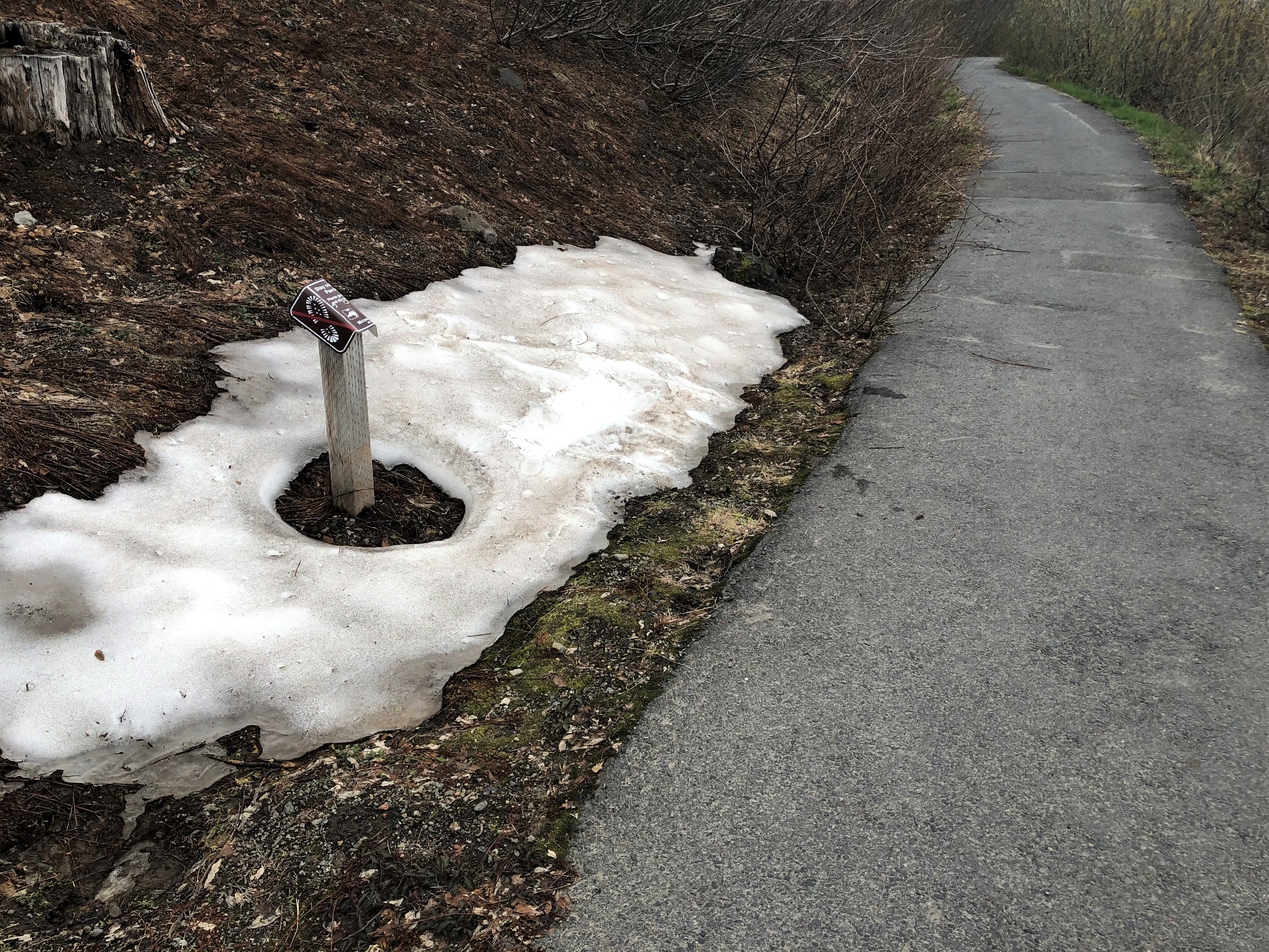
Suddenly the snow patches aren't so far away ...
Pollen-laden Alder catkins ... my lungs did not sieze, and I did not get wheezy.
For decades I wouldn't come up here because it was SO barren of life.
The sunlight was so pretty in the rainy gloom.
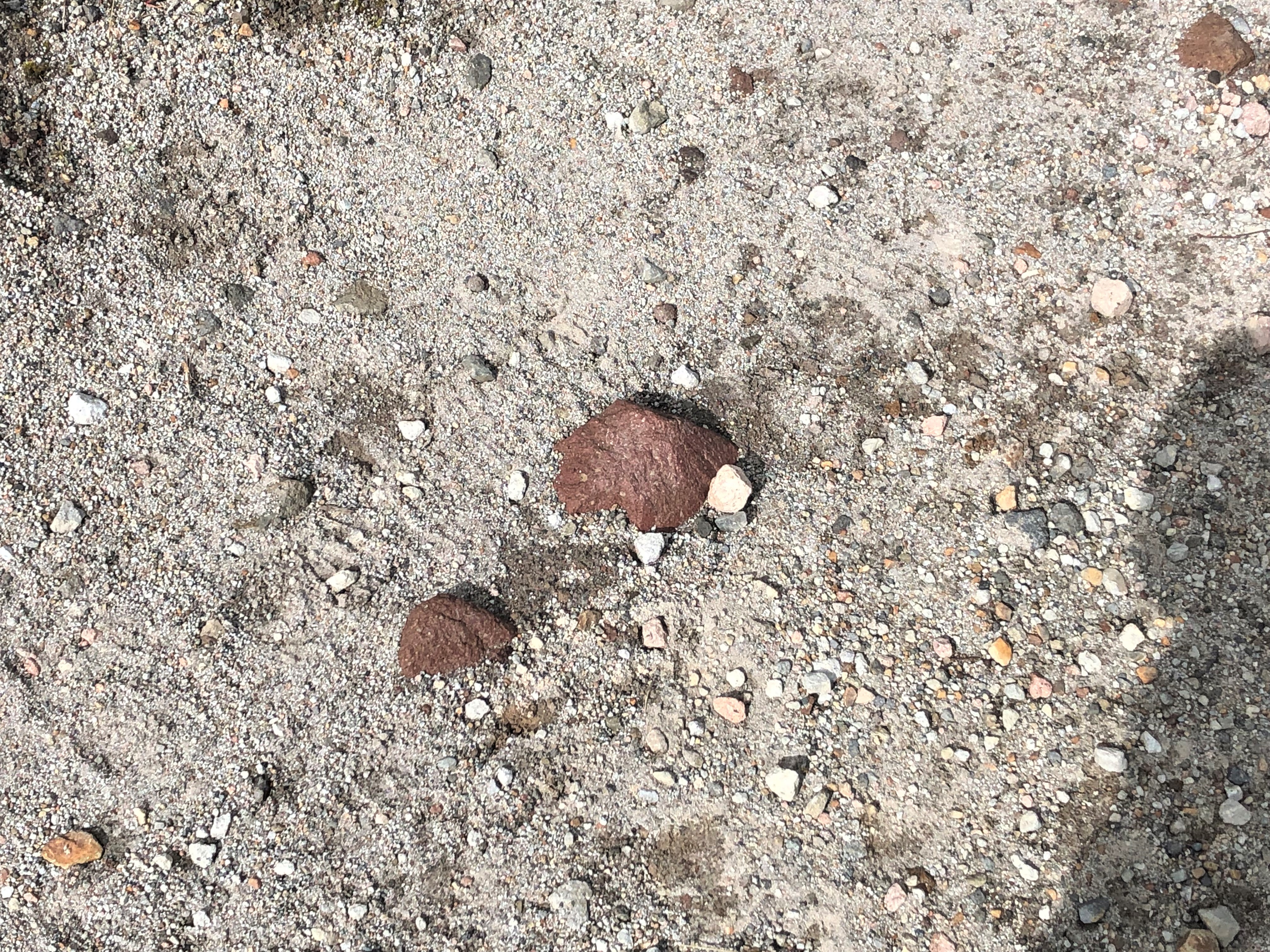
Red pumice rock. Pumice is felsic volcanic glass – a rock foam with so much air in its structure that it floats in water. Pumice rock will often drift in river, coming to rest on beaches faaaaar from where it originated.
This trail is a definite repeat, but I’ll need to leave the house at least by 7 AM to make the full loop hike.
I'm not going to allow doctors to pigeon-hole-handicap me.
I know my body, and I know my limitations; I'm wise with activities.
Eruption-blasted-trees on backside of the Observatory bluff.
A 'Gracie' snafu about a half hour away from the Highlander.
Nothing major ... and it was not my driving foot: thank God!
Next time, I will carry my walking stick with me. Things can change in a nano-second on a trail; even
if the trail is not a challenging trail. My snafu happened because of a loose
pebble.
1 loose pebble led to a turned ankle – which immediately inflamed
that temperamental piriformis muscle. Getting back to the car was not as
scary as it sounds … the drive home, with the piriformis tweak, would be
the true test. That was what concerned me: there is no shotgun
driver to takeover driving, in my current life.
I don’t think my walking stick would have stopped the turning
of the ankle snafu; but it would have eased some of the piriformis strain while
pampering my ankle.
And I did have a few sightings of snow that that made my eyes
happy, and aided in mental distraction as I hobbled along 😉
Snow patches back to the parking lot.
I will always think of this mountain as 'Bob's Mountain'.
Coldwater Restrooms - Park side - CLOSED: these restrooms look so sci-fi, it borders on silly.
Coldwater Lake:(https://en.wikipedia.org/wiki/Coldwater_Lake_(Washington))
My ankle was in a little pain, but it wasn’t crippling … and
I figured that if I could walk from where I turned it on the trail to where the
car was parked (about half an hour careful walking), that was a good
sign that I hadn’t seriously injured it. I’d just hole up at home when I got
back home, gently use that foot over the next 24 hours; and slap a
pain-relieving patch on the inflamed piriformis muscle until it settled down.
By the time I headed home, I had spent 6 hours on the
mountain, and experienced two new things – and I had done a lot more walking
than anticipated when I woke up with walking in my thoughts 😊
Hopefully by Monday or Tuesday, the ankle burn and muscle
seize will back off; and I’d be back in business on my feet 😉
I loosened the shoelace ties at Coldwater Lake, just in case my ankle decided to swell a bit; I'm going to be pampering my ankle over the next few days.
Alpenglow sunset tonight.
**Mt. St. Helens Daytrips over the past 3 years/Links:
Sunday~Funday2 –
Solo Daytrip up Toutle to Mt. St. Helens Gift Shop/9-1-19: https://jeastofeden.blogspot.com/2019/09/sunday-funday-2.html
Mt. St. Helens
Daytrip w-Trudy & Ed/8-4-20: https://jeastofeden.blogspot.com/2020/08/daytrip-w-trudy-ed-mt-st-helens.html
A Walk In The
Clouds Post/4-16-21 (I was wearing
a yellow top then, too 😉): https://jeastofeden.blogspot.com/2021/04/a-walk-in-clouds.html
Loowit Viewpoint Post/9-8-21: https://jeastofeden.blogspot.com/2021/09/loowit-viewpoint.html
**


%20via%20WA-504%20E.jpg)







%20to%20Devil%E2%80%99s%20Point%20%E2%80%93%20isn't%20that%20long..JPG)